April 18, 2024 - For up-to-date trail conditions, call the Long Valley Ranger Station at (760) 327-0222. REPORTS
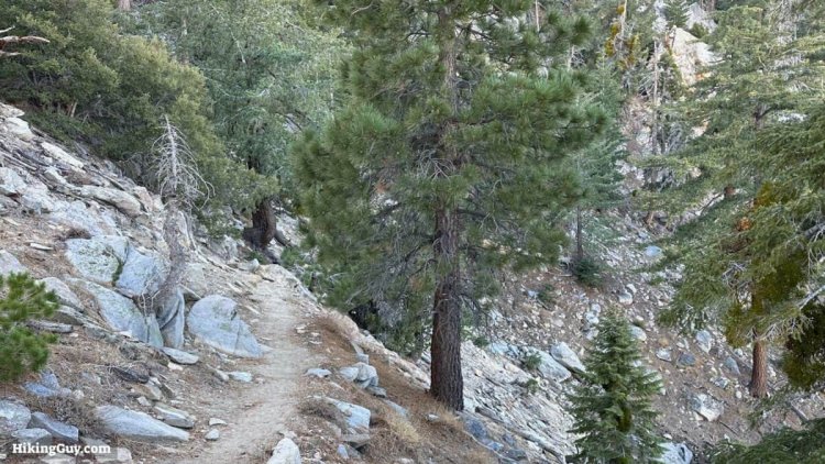
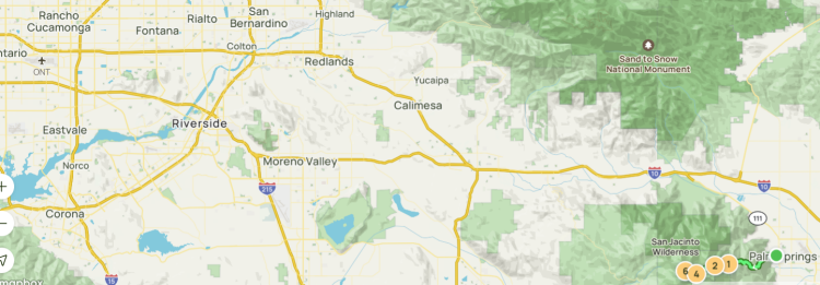
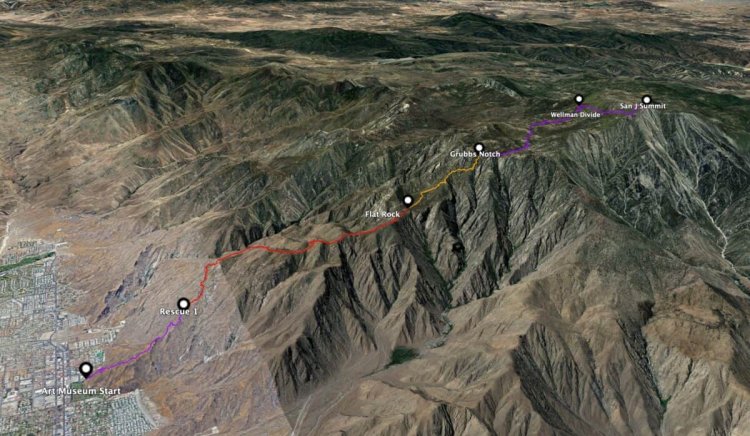
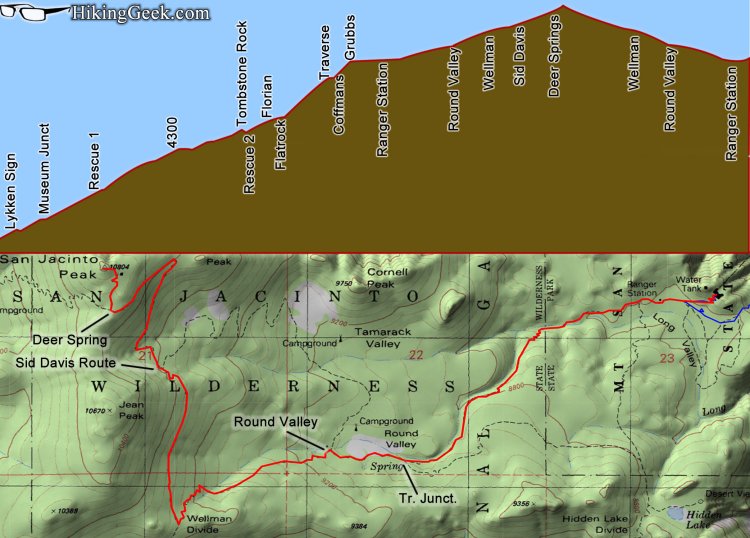
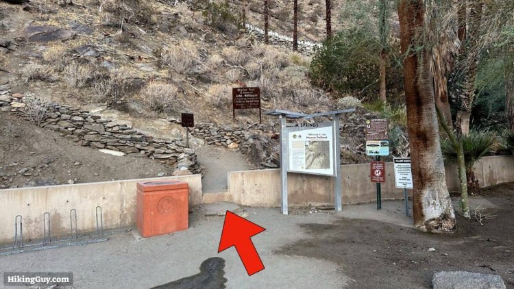
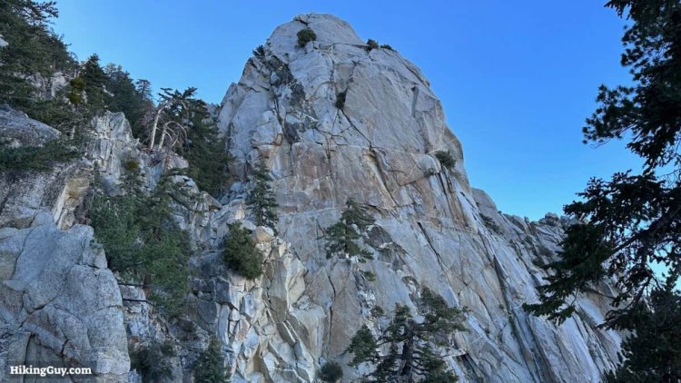
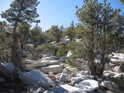
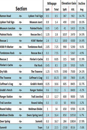
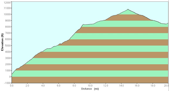
Day-Use Wilderness Permits are FREE and available 24 hours on the porch at Long Ranger Station. Fill out your permit, take the carbon copy with you on your hike and place the original copy in the box labeled "Permits”. After hike, return the carbon copy to the same box. DIRECTIONS: I-10 east to CA 111. Take CA 111 into the town of Palm Springs where CA 111 turns into Palm Canyon Drive. Make a right onto W. Tahquitz Canyon Way to Museum Drive. The trailhead is located at the Palm Springs Desert Art Museum at 101 N. Museum Drive. Also the trail can be reached by continuing on Palm Canyon Drive and making a right onto W. Ramon Road and following it to the end. There's free street parking around the museum. Check the signs carefully before parking. The museum parking lot and garage across the street are unavailable for hikers. 2.5M, 2000' STEEP and ROCKY switchbacks past Picnic Tables to Rescue 1 ///// 5M, 4400' past Rescue 2 to Flat Rock 10% ///// 2M, 2500' STEEP to Traverse then to Grubb's Notch ///// 4M, 1300' past Tram and Long Valley and Round Valley CG to Wellman Divide ///// 2M, 1100' to Summit When finished (36M /47m) to Black Rock CG, 9800 Black Rock Cyn, Yucca Valley, CA (fast food/ Walmart) ROUTE: The Cactus to Clouds, starting on the Skyline Trail in theAgua Caliente Indiand Reservation is considered the hardest day hike n America, starting on the desert floor and climbing to 10,834 feet. You gain over 8,000 feet in the first 9.5 miles in dry aird desert conditions. The total elevation gain is 10,400 feet in 15.5 miles. An early start is suggested. From the first step you start gaining elevation - non stop. After a mile you come across a rock painted with a note saying, "No water on trail until Ranger Station, 8 miles, 10 hours." This is where you will need to obtain a permit for the rest of your hike. From the Ranger Station simply follow the signs to the summit. In 5.5 miles you will have reached your goal and probably will be exhusted.
|
x x
|