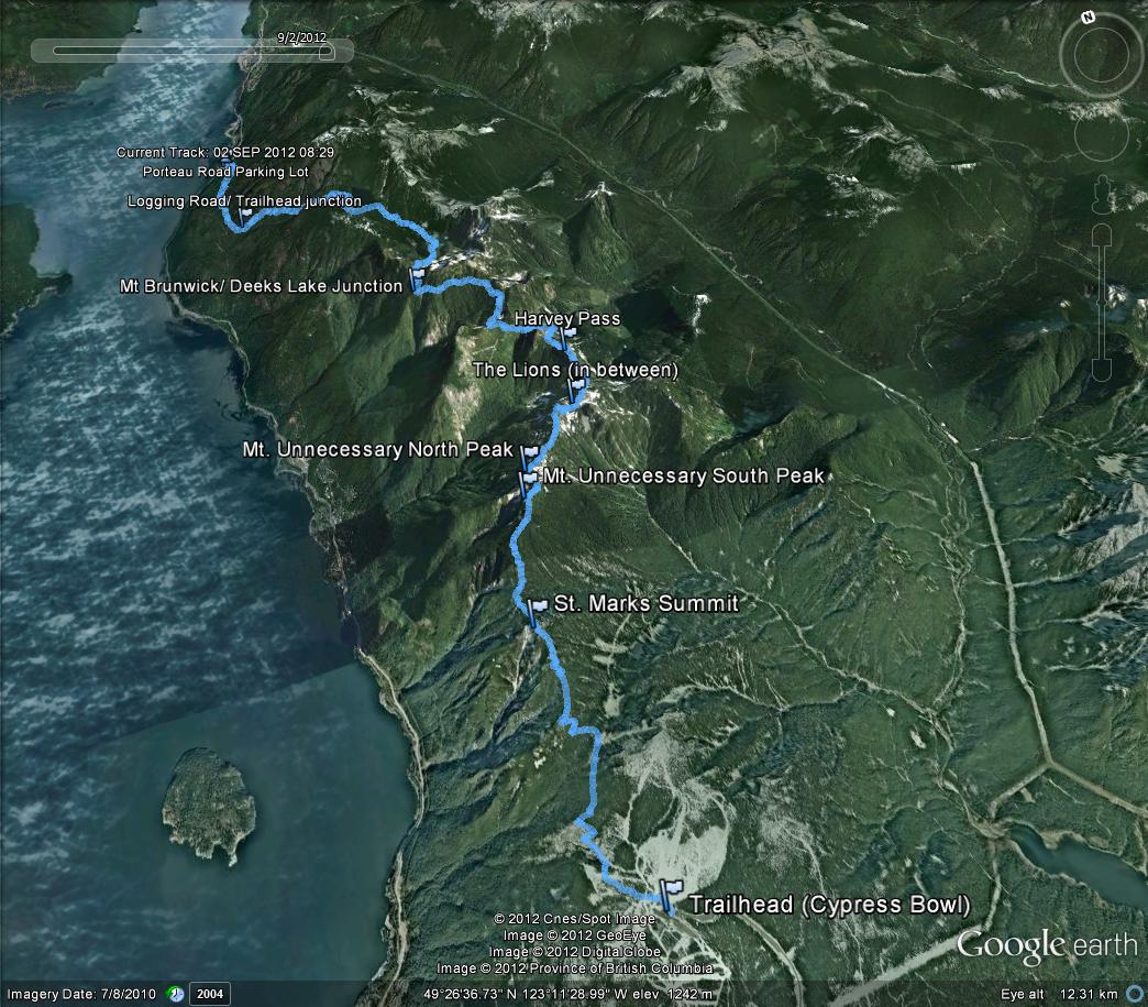
Howe Sound Crest Trail - British Columbia
Elevation Gain:  1450'  High Point:  4450'  RT Distance:  11.2M
August 1, 2017
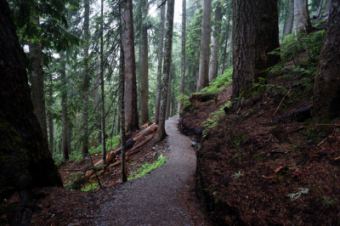
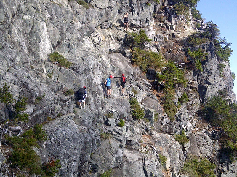
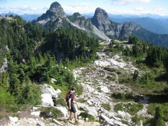
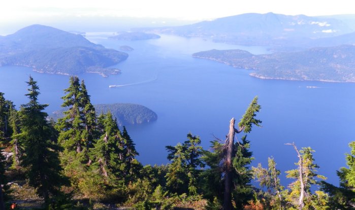
The Howe Sound Crest Trail is a scenic high-level route that stretches 30 km (20 mi) from Cypress Provincial Park in the south to just before Porteau Cove Provincial Park in the north. Described here is a section of the southern part of this trail, from Cypress Bowl to the peaks of Unnecessary Mountain, with the possibility of continuing to the base of the West Lion. The trail has something of a history, being the re-creation of the one-time route to the Lions before a road was built along Howe Sound, when access even to Hollyburn Mountain and Mount Strachan was on foot from West Vancouver. Now the trailhead at the parking lot for the Cypress Bowl chairlifts is at 915 m (3000 ft) and some 14 km (8.7 mi) into the valley of the creek that gives the provincial park its name.